Severe Storms
Hazard Description
There are three types of severe storms in Northern Nevada: winter storms, windstorms and extreme heat. Winter storms can bring heavy rain or snow, high winds, extreme cold, and ice storms. Winter storms plunge southward from arctic regions and drop heavy amounts of snow and ice. A windstorm is a severe weather condition that is sometimes indicated by high winds with little or no rain. Extreme heat occurs when summertime temperatures are much hotter and/or more humid than the average.
Impact
Winter storms plunge southward from arctic regions and drop heavy amounts of snow and ice sometimes indicated by high winds with little or no rain. Windstorms can cause dust storms and can often increase the risk of wildland fire. High winds can also accompany thunderstorms and can cause significant property and crop damage, threaten public safety, and have adverse economic impacts from business closures and power loss. Winds that exceed 100 mph can overturn mobile homes, tear roofs off houses, topple trees, snap power lines, shatter windows, and sandblast paint from cars. Other associated hazards include utility outages, arcing power lines, and debris blocking streets. Extreme heat occurs when summertime temperatures are much hotter and/or more humid than the average.
Mitigation
High Winds
- Secure loose outdoor items such as patio furniture, holiday decorations, and trash cans before winds increase which could blow these items away. Fences are quite prone to wind damage so ensure those are stable and secure. Prepare ahead of time by making sure you have extra food and water on hand, flashlights with spare batteries in the event of a power outage.
- Have a way of receiving weather alerts on your phone and/or via broadcast TV or radio.
Heavy Snow & Blizzards
- If you must travel, prepare for long delays and carry an emergency kit with extra food, water and clothing. Ensure your vehicle has proper tires with good tread. If you stay home, have a backup power plan in case of outages and ensure your food supplies are adequate in case you end up stuck at home for many hours or several days.
- In a blizzard with near zero visibility, stay indoors until the snow and wind subside. Even a short walk could be deadly if you become disoriented.
- Be aware of your avalanche risk ahead of time and have a way of receiving avalanche alerts, as avalanche hazards can develop quickly during major winter storms. Avalanches may run long distances and can run into mature forests, valley floors, or flat terrain.
- Citizens can mitigate the effects of severe storms by creating defensible space; removing heavy snow from roofs and other structures; and shoveling driveways and sidewalks to prevent slipping. Washoe County provides snow plows to most streets within the county, which is based on a tiered system.
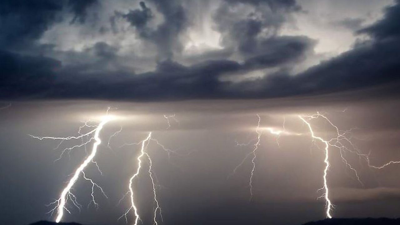
Summer Thunderstorms
- Have a secure indoor space as a Plan B on days when thunderstorms are forecast. Once storms form, people outside should move immediately to shelter inside a strong building. Stay away from windows due to high wind hazards. Do not use picnic areas or tents as shelter as those are not safe from lightning strikes.
- Have a way of receiving weather alerts and monitoring radar on your phone as thunderstorms often develop rapidly.
Sign-up for Alerts
Citizens can register for reverse telephone notification, called Code Red, as well as other notifications concerning alerts. To sign up, click on the “Regional Notification” link on the menu and follow the instructions.
To view current weather conditions for Washoe County, click here.